Madagascar The Eighth Continent

Category: Madagascar

The RN7 Route Guide

The RN7 runs roughly 950 km from Antananarivo to Toliara and is the only long sealed road in Madagascar, which is why the southern circuit is the country's standard itinerary. It passes through highland spa towns, the rainforest edge at…
Read more
UNESCO World Heritage Sites in Madagascar

Madagascar holds three UNESCO World Heritage Sites: the Rainforests of the Atsinanana, six eastern parks inscribed together in 2007; the Andrefana Dry Forests, six western and northern sites listed from 1990 and extended in 2023; and the Royal Hill of…
Read more

Madagascar Maps and Geography

Madagascar runs roughly 1,600 km north to south and covers about 587,000 square kilometres, making it the fourth largest island on earth. Knowing how the country is laid out explains most of what shapes a trip here: a highland spine…
Read more

The Mitsio Archipelago

The Mitsio archipelago lies around 55 to 70 km northeast of Nosy Be, a scatter of eleven islands with some of the best diving in Madagascar and almost nobody on them. Nosy Tsarabanjina holds the only resort, Nosy Mitsio is…
Read more

Salary Bay and the Coast North of Ifaty

Salary Bay lies several hours north of Ifaty on rough track, a stretch of empty coast with reef offshore and a handful of lodges. Further on sits Andavadoaka, a Vezo fishing village known for community-led marine management. This is the…
Read more

Waterfalls, Mountains, Rivers and Lakes of Madagascar

Beyond the wildlife, Madagascar's natural features are strung across the parks rather than standing alone. Pic Boby at 2,658 metres is the highest summit walkers can reach, the Tsiribihina is the classic river descent, and waterfalls at Amber Mountain, Ranomafana…
Read more

Madagascar Packing List

Packing for Madagascar means preparing for three climates in one trip: humid rainforest where it rains in every month, highlands that drop near freezing at night, and arid southwest heat. The items that matter most are a waterproof jacket, boots…
Read more

Morondava

Morondava is a laid-back coastal town on Madagascar's west coast and the gateway to the Avenue of the Baobabs, Kirindy Forest and Tsingy de Bemaraha. Most visitors use it as a base for the western circuit and spend a day…
Read more

Sambava and the SAVA Vanilla Region

Sambava is the gateway to Marojejy National Park and the centre of the SAVA region, where most of Madagascar's vanilla grows. The name comes from the four towns of Sambava, Antalaha, Vohemar and Andapa. Visitors come for the silky sifaka…
Read more

Watersports and Boat Trips in Madagascar

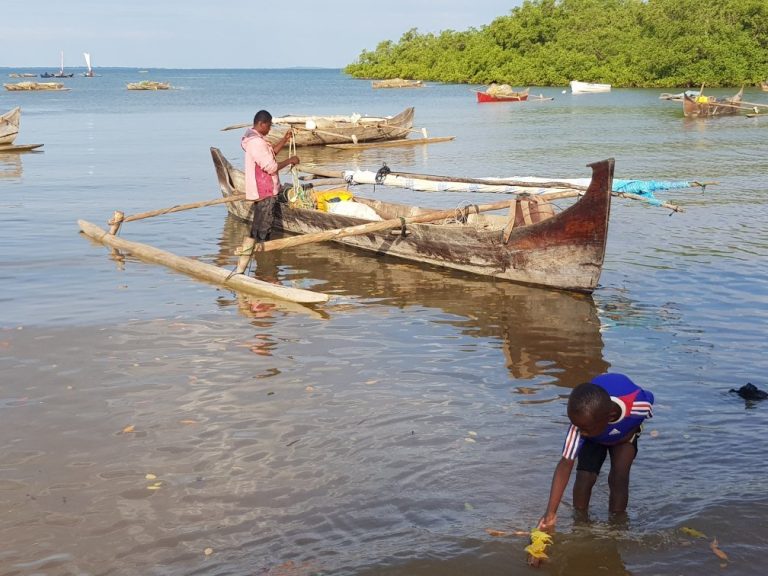
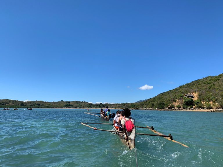
Beyond snorkelling and diving, Madagascar's coasts offer kitesurfing at Sakalava Bay, sea kayaking at Masoala and around the northern islands, deep-sea fishing from four separate coasts, and pirogue trips with Vezo crews who have sailed these waters for generations. Most…
Read more