Midongy du Sud National Park
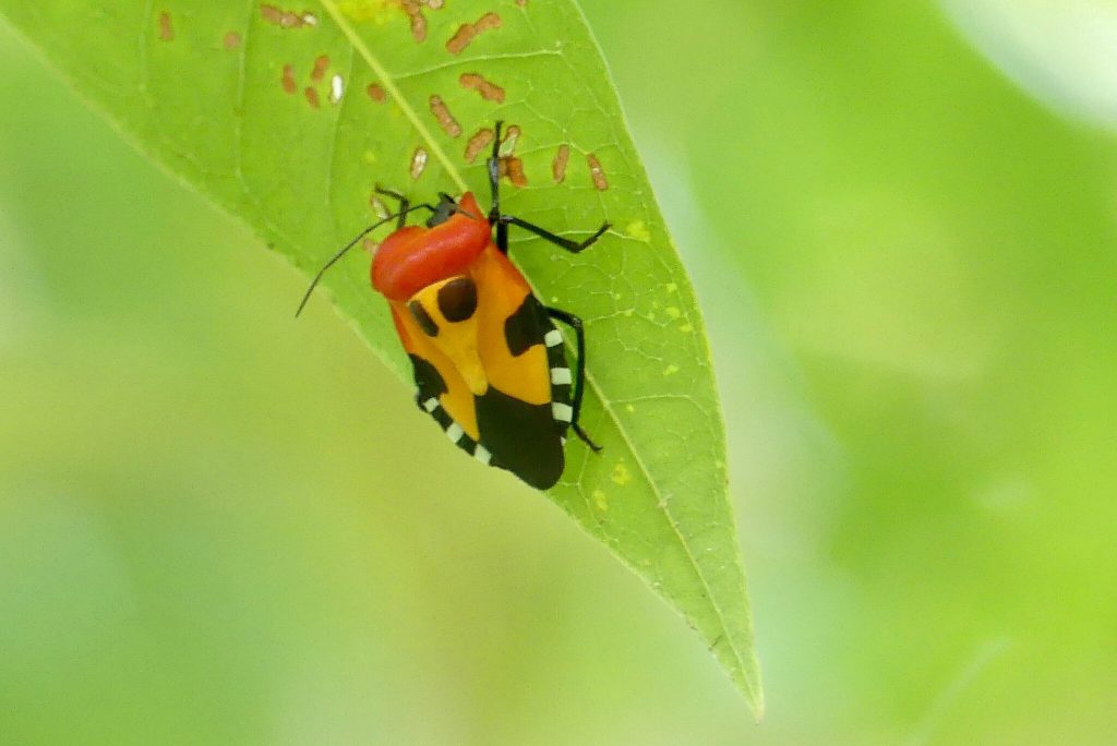
Midongy du Sud, also called Befotaka-Midongy, protects the second largest rainforest in Madagascar across roughly 1,920 square kilometres of the southeastern escarpment. It is among the least visited national parks in the country, reached by 200 km of poor road from Vangaindrano, with no accommodation inside and no established trail network. Rain falls almost every day and the annual average temperature sits around 18 degrees.
The Second Largest Rainforest
The park covers around 192,000 hectares divided into two main sections, the Soarano and the Befotaka forest, on terrain where the central highlands drop toward the Indian Ocean.
Altitude runs from about 700 metres to 1,680 at Mount Papango, and the country between is steep mountain, deep valley and marsh and river in the lowlands.
This is one of the most humid regions in Madagascar, with rain falling on most days and a yearly average temperature around 18 degrees. That combination is what produces the forest.
Protection dates to 1953 and national park status followed in 1997, putting it in the same cohort as Zombitse-Vohibasia and Zahamena.
Its remoteness has preserved the wilderness character, and the park functions as refuge for forest species that have lost habitat across most of the southeastern region.
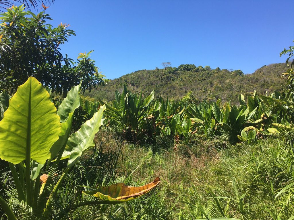
The second largest rainforest in Madagascar, and among the least visited parks in the country. Two hundred kilometres of bad road is what stands between them.
Wildlife
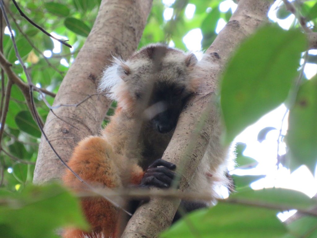
Reported lemur counts vary between sources, with figures around fifteen species cited, including white-collared brown lemur, red-bellied lemur, greater bamboo lemur and ruffed lemur.
The aye-aye occurs here, as it does across much of the eastern forest belt, and is as difficult to see as anywhere. Ring-tailed lemurs appear near the western edge of the park, unusual in this forest type.
Birding is the strong suit for those who reach it, with over 100 species recorded including the Madagascar serpent-eagle, pitta-like ground-roller, scaly ground-roller and red-fronted coua.
Reptiles and amphibians include leaf-tailed geckos and brightly coloured mantella frogs, and surveys have turned up herpetofauna still awaiting formal description.
The flora is notable for medicinal plants, endemic palms and hardwoods, and the park is in particular known for the concentration of species with recorded medicinal use.
Getting There
This is the difficult part and the reason almost nobody comes.
The route runs to Vangaindrano on the RN12, with the final 100 km of that road in poor condition. From Vangaindrano the T18 continues roughly another 100 km to Midongy Atsimo, and that stretch is worse.
Taxi-brousse services reach Vangaindrano from Antananarivo and Fianarantsoa, but there is no public transport beyond it. Independent travellers must arrange alternative transport from there.
A capable four-wheel drive is not optional. Sources are consistent that the trip should not be attempted without one.
Farafangana on the coast has an airport with connections to Antananarivo, which shortens the road route in for anyone able to arrange a vehicle from there.
Access is limited to roughly June through November. Outside that window the roads become impassable.
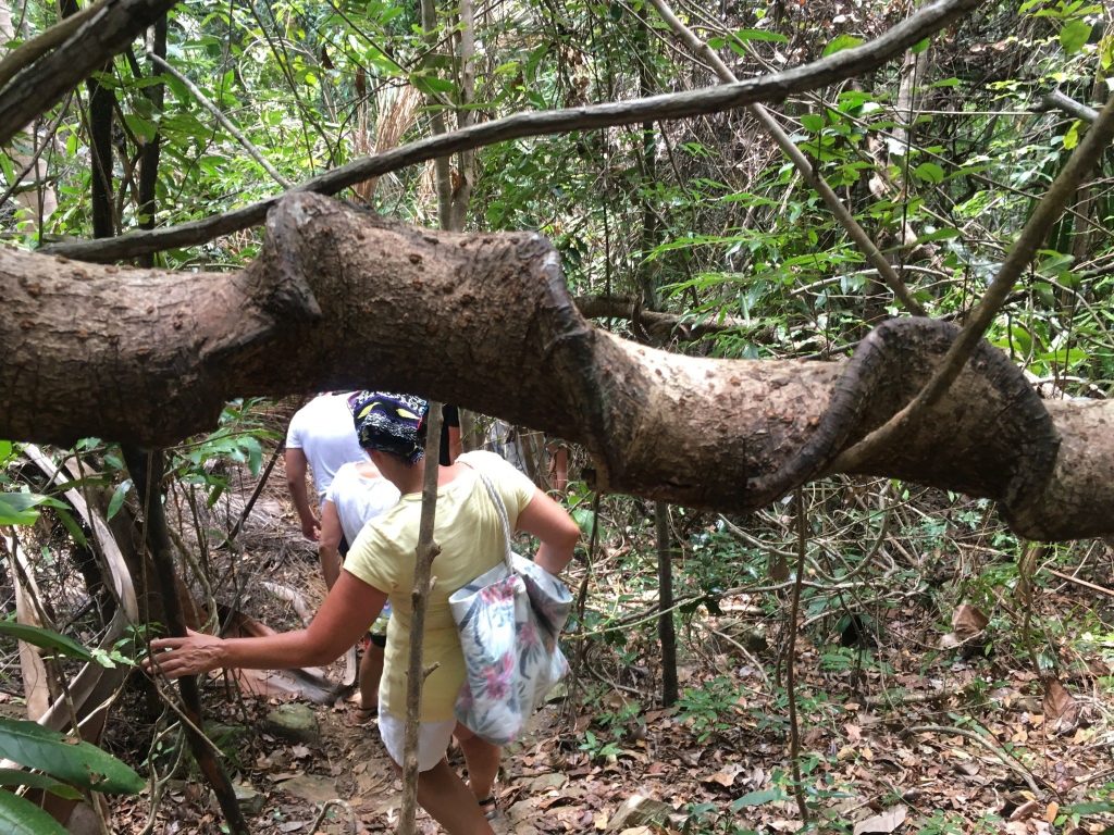
Who this park suits. Experienced travellers with time, a capable vehicle, camping equipment and a tolerance for constant rain. Researchers and birders working the southeastern endemics.
Who it does not. Anyone on a fixed schedule, anyone without four-wheel drive, and anyone expecting facilities. Ranomafana on the RN7 delivers comparable rainforest species with vastly better access.
Facilities and Practicalities
There is no accommodation inside the park and no established trail network. Guided walks are arranged rather than following marked circuits.
A small park office operates at Midongy where guides can be arranged, and this is where a visit is organised rather than at a gate.
Camping is possible with your own equipment. Accommodation with local inhabitants near the park boundaries can usually be found, and Midongy and Befotaka have basic guesthouses.
Access from Befotaka reportedly requires guides, porters, camping equipment and several days of walking, which puts this closer to an expedition than a park visit.
Communications are poor and there is no reliable phone coverage in the park or on the roads in, so anyone travelling here should leave an itinerary with someone and not expect to be reachable.
Bring proper waterproofs. Every source stresses this, and in a park where it rains almost daily at 18 degrees it is the difference between a workable trip and a miserable one.
Around the Park
Several sites in the surrounding country are worth building into a visit given the effort required to reach the region.
Kotavo Cave near Befotaka, around 40 km south of Midongy Atsimo, is a natural cave system and the most cited attraction outside the park.
Thermal springs at Telorano offer hot water after days of walking in cold rain, which is more appealing here than the description suggests.
The natural pool at Andranolaly is a swimming spot in the surrounding forest.
The region is home to the Bara, traditionally zebu herders whose cultural identity is tied to cattle ownership as a marker of wealth and status, alongside seasonal rice cultivation.

Midongy du Sud is accessible only from around June to the end of November, and public transport does not reach it. Even in that window the last 200 km from Vangaindrano is poor road requiring a capable four-wheel drive. There are no established tours, no accommodation in the park and no trail network. Arrange guides through the park office at Midongy rather than expecting a gate operation.
Nearby Parks and the Southeast
The southeastern corner of Madagascar holds several protected areas that see almost no visitors, and Midongy is the largest of them.
Manombo Special Reserve north near Farafangana protects lowland rainforest with several lemur species of conservation concern, in a heavily fragmented area that has been the subject of restoration work.
Kalambatritra Special Reserve inland is remote with close to no visitor infrastructure, protecting montane forest known mainly from surveys.
Andohahela National Park further south near Fort Dauphin is the accessible option in this quarter of the country, holding rainforest, spiny forest and the transition between them across three parcels.
For travellers wanting southeastern rainforest without the road, Ranomafana on the RN7 delivers a comparable species community with vastly better access and infrastructure.
The region as a whole is among the poorest and least developed in Madagascar, and tourism infrastructure reflects that rather than any lack of natural interest.
Conservation Pressures
The park faces the pressures common across Madagascar’s forests, concentrated by its position in a region where most other habitat has gone.
Slash-and-burn agriculture and illegal logging are the main threats, alongside limited resources for park management across an area this size.
Conservation work led by Madagascar National Parks and international organisations focuses on habitat restoration, reforestation and environmental education, with community initiatives aimed at reducing dependence on forest resources.
The park’s value lies partly in scale. At 1,920 square kilometres it is one of the larger protected areas in the country, and in the southeastern corner it is among the few substantial blocks left.
Visitor numbers are so low that tourism revenue contributes very little here compared with parks like Andasibe or Isalo, which is part of the management difficulty.
Best Time to Visit
The access window is narrow and the weather is wet regardless.

June to August. The start of the access window, with roads at their most passable. Cool at around 18 degrees average and still wet. The most reliable period for reaching the park at all.
September to November. The rest of the window, warming slightly with reptiles and amphibians more active. Roads deteriorate toward the end as the rains build.
December to March. Roads impassable and the region in practice closed. This is also cyclone season on the southeastern coast, which adds risk to the route in.
April and May. Roads drying but not yet reliable. Confirm conditions locally before committing, since the T18 is the constraint rather than the park itself.
Frequently Asked Questions
How do I get to Midongy du Sud?
Via Vangaindrano on the RN12, with the last 100 km in poor condition, then roughly another 100 km on the T18 to Midongy Atsimo which is worse. Taxi-brousse reaches Vangaindrano from Antananarivo and Fianarantsoa but no public transport goes beyond. A capable four-wheel drive is necessary. Farafangana has an airport.
When is the park accessible?
Roughly June to the end of November. Outside that window the dirt roads become impassable and the region is closed in practice. Even within it, conditions on the T18 are the constraint rather than anything in the park itself.
Are there facilities?
None inside the park. No accommodation, no established trail network and no organised tours. A small park office at Midongy arranges guides. Camping with your own equipment is possible, and basic guesthouses exist in Midongy and Befotaka along with accommodation with local families near the boundaries.
What wildlife will I see?
Reported lemur counts vary, with figures around fifteen species cited including white-collared brown lemur, red-bellied lemur and greater bamboo lemur. Over 100 bird species including the Madagascar serpent-eagle and two ground-roller species. Leaf-tailed geckos, mantella frogs and herpetofauna still awaiting description.
Is it worth the trip?
For experienced travellers with time, a capable vehicle and a tolerance for constant rain, it offers rainforest almost nobody sees. For everyone else, Ranomafana on the RN7 delivers comparable species with vastly better access. This is an expedition rather than a park visit.
What should I bring?
Proper waterproofs above everything, since it rains almost daily at an average of 18 degrees. Camping equipment, since there is nothing inside the park. Boots with real grip for steep wet terrain. Everything else you need, since supplies in the region are basic and there are no banks.
What else is in the area?
Kotavo Cave near Befotaka about 40 km south of Midongy Atsimo, thermal springs at Telorano which are welcome after days in cold rain, and a natural swimming pool at Andranolaly. The region is Bara country, traditionally zebu herders with seasonal rice cultivation.
How big is the park?
Around 1,920 square kilometres, or 192,000 hectares, divided into the Soarano and Befotaka forest sections. It protects the second largest rainforest in Madagascar and altitude ranges from about 700 metres to 1,680 at Mount Papango. Protection dates to 1953 with national park status from 1997.
Planning Your Trip
Midongy du Sud is the least accessible national park in Madagascar with any substantial forest, and reaching it means 200 km of poor road in a narrow seasonal window. What it protects is scale and species that the southeastern corner has otherwise lost.
Booking Your Madagascar Trip
The safari companies and tour operators listed on this website put trips like this together for a living and know which camps, guides and routes actually deliver. We are an independent guide to Madagascar; we do not book or sell tours ourselves.
When you are ready, arrange your safari, tour or holiday with one of the recognised operators listed here. Tell them your dates and what matters most, and a real person, not a form, will handle the itinerary, park bookings and logistics for you.