Madagascar Maps and Geography
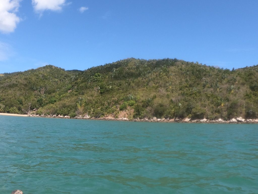
Madagascar runs roughly 1,600 km north to south and covers about 587,000 square kilometres, making it the fourth largest island on earth. Knowing how the country is laid out explains most of what shapes a trip here: a highland spine running the length of it, a wet eastern escarpment, an arid southwest, and a single sealed road, the RN7, connecting the capital to the south coast.
The Shape of the Country
Madagascar sits about 400 km off the East African coast across the Mozambique Channel, separated from Africa around 165 million years ago and from India roughly 88 million years ago.
A central plateau runs the length of the island at altitudes between roughly 800 and 1,800 metres. Antananarivo sits at 1,280 metres, Antsirabe at 1,500.
The plateau drops sharply on the eastern side to a narrow coastal strip, which is why the eastern rainforests are a belt rather than a region. That escarpment catches the moisture and produces rainfall exceeding 3,000 mm in places.
To the west the land falls away more gradually into dry deciduous forest and eventually the Mozambique Channel coast. The south is arid, receiving under 500 mm a year in places.
The highest point is Maromokotro at 2,876 metres in the Tsaratanana massif, in a closed reserve. Pic Boby at Andringitra, 2,658 metres, is the highest summit ordinary walkers can reach.
A plateau down the middle, rainforest on the eastern edge, desert in the southwest and one long sealed road. Madagascar’s geography is why every itinerary looks the way it does.
The Road Network
Routes Nationales carry the numbering that appears throughout any Madagascar itinerary, and knowing the main ones is genuinely useful.
The RN7 runs roughly 950 km from Antananarivo south through Antsirabe, Fianarantsoa and Ambalavao to Toliara on the southwest coast. It is sealed throughout and is the reason the southern circuit is the standard trip.
The RN2 runs east from the capital to Toamasina, passing Andasibe-Mantadia, sealed and taking most of a day.
The RN4 runs northwest to Mahajanga, passing directly through Ankarafantsika, which makes that park unusually accessible.
The RN6 runs north from Ambanja to Antsiranana, with Ankarana and the Red Tsingy both directly off it.

The RN8 north from Morondava to Tsingy de Bemaraha is unsealed, takes six to ten hours with two river ferries, and closes December to March.
The RN34 and RN35 connect the capital west toward Miandrivazo and Morondava. The RN44 runs to Ambatondrazaka and Lake Alaotra.
Regions and How They Divide
Madagascar divides into regions that matter more for travel planning than any administrative boundary.
The central highlands hold Antananarivo, Antsirabe and Fianarantsoa, temperate and cold at night in winter, with most of the population and almost no remaining forest.
The east is the rainforest belt: Andasibe, Ranomafana, Zahamena, and further north Masoala and Marojejy. Wet in every month and cyclone-exposed.
The west holds Morondava, Kirindy and Tsingy de Bemaraha, strongly seasonal with dry deciduous forest and the baobabs.
The south and southwest around Isalo, Toliara and Tsimanampetsotsa are arid, holding spiny forest found nowhere else.
The north around Antsiranana packs rainforest, tsingy, laterite formations and reef into short distances, and the Nosy Be archipelago sits off its west coast.
Distances and Travel Times
The single most useful thing to know is that distances mislead badly here.
Antananarivo to Antsirabe is 170 km and takes three to four hours. Antananarivo to Andasibe is three to four hours on the best road in the country. Antsirabe to Ranomafana runs six to eight hours.
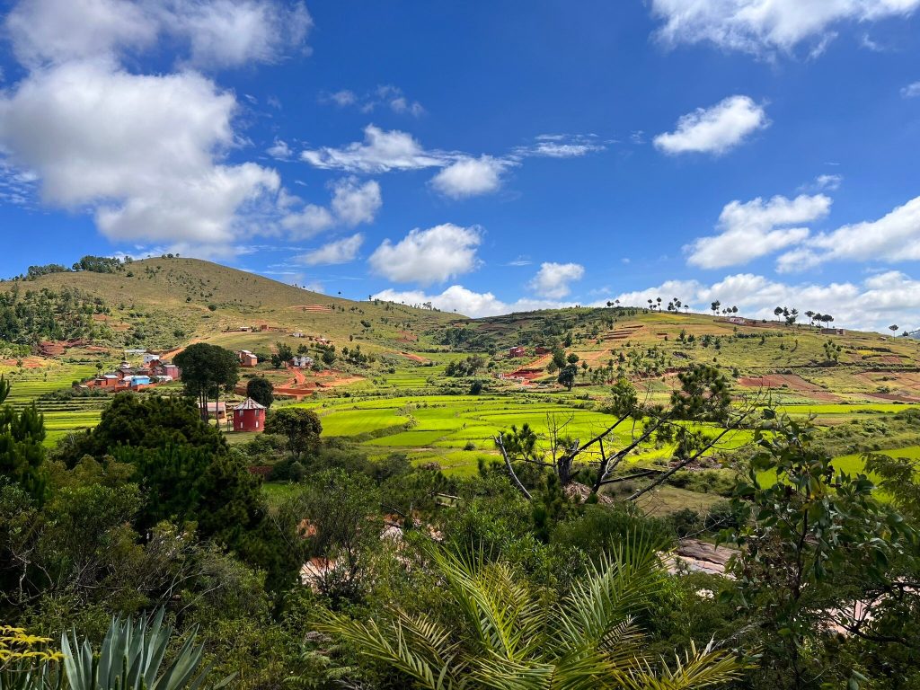
The full RN7 from Antananarivo to Toliara covers roughly 950 km and needs the better part of a week with park stops.
Morondava to Tsingy de Bemaraha is 200 to 230 km and takes six to ten hours with two river ferries.
Average speeds run around 40 km an hour on sealed roads and considerably less off them. Plan by hours rather than kilometres.
Sealed and straightforward. RN7 south, RN2 east, RN4 northwest, RN6 north. Standard vehicles manage all four, and taxi-brousse services run frequently on each.
Four-wheel drive required. RN8 north from Morondava, the tracks to Andringitra, Andohahela’s outer parcels, Anjohibe, Kirindy Mite and the coast north of Ifaty.
Air or boat only. Fort Dauphin realistically, Maroantsetra and Masoala, Sambava for Marojejy, Nosy Be and Sainte-Marie, Anakao, Soalala for Namoroka and Baie de Baly.
Airports and Domestic Flights
Ivato at Antananarivo handles international arrivals and every domestic route in the country.
Domestic airports serve Nosy Be, Antsiranana, Sambava, Maroantsetra, Toamasina, Morondava, Toliara, Fort Dauphin, Farafangana and others.
Almost every route transits the capital rather than connecting regions directly, so moving from north to west means flying back through Antananarivo.
Fascene on Nosy Be receives some direct international services, mostly seasonal charters and connections from Réunion and Mauritius, which makes it the one alternative entry point.
Frequency is limited, with routes running a few times weekly rather than daily, and capacity constrains itineraries more than accommodation does.
Where the Parks Sit
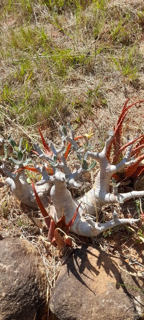
Knowing roughly where the protected areas fall makes routing far easier.
On or near the RN7: Ranomafana off the RN25, Anja and Andringitra from Ambalavao, Isalo at Ranohira, Zombitse directly on the road before Toliara.
On the RN2 east: Andasibe-Mantadia, three to four hours from the capital.
On the RN4 northwest: Ankarafantsika, directly on the sealed road to Mahajanga.
On the RN6 north: Ankarana and the Red Tsingy, with Amber Mountain inland from Antsiranana.
West from Morondava: Kirindy Forest and Tsingy de Bemaraha north, Kirindy Mite and Belo sur Mer south.
Reached by air: Masoala and Nosy Mangabe from Maroantsetra, Marojejy from Sambava, Berenty and Andohahela from Fort Dauphin, Lokobe on Nosy Be.
The single planning insight that saves the most time is that regions do not connect to each other. Almost every domestic flight transits Antananarivo, and the road links between regions are long and often poor. Choosing one circuit and doing it properly beats attempting two, and travellers who ignore this spend most of their trip in transit.
Climate Zones
The regional differences are large enough that a national average is useless.
The eastern rainforest records rain on roughly 210 days a year, with Ranomafana receiving between 1,600 and 4,000 mm and humidity frequently between 90 and 97 percent.
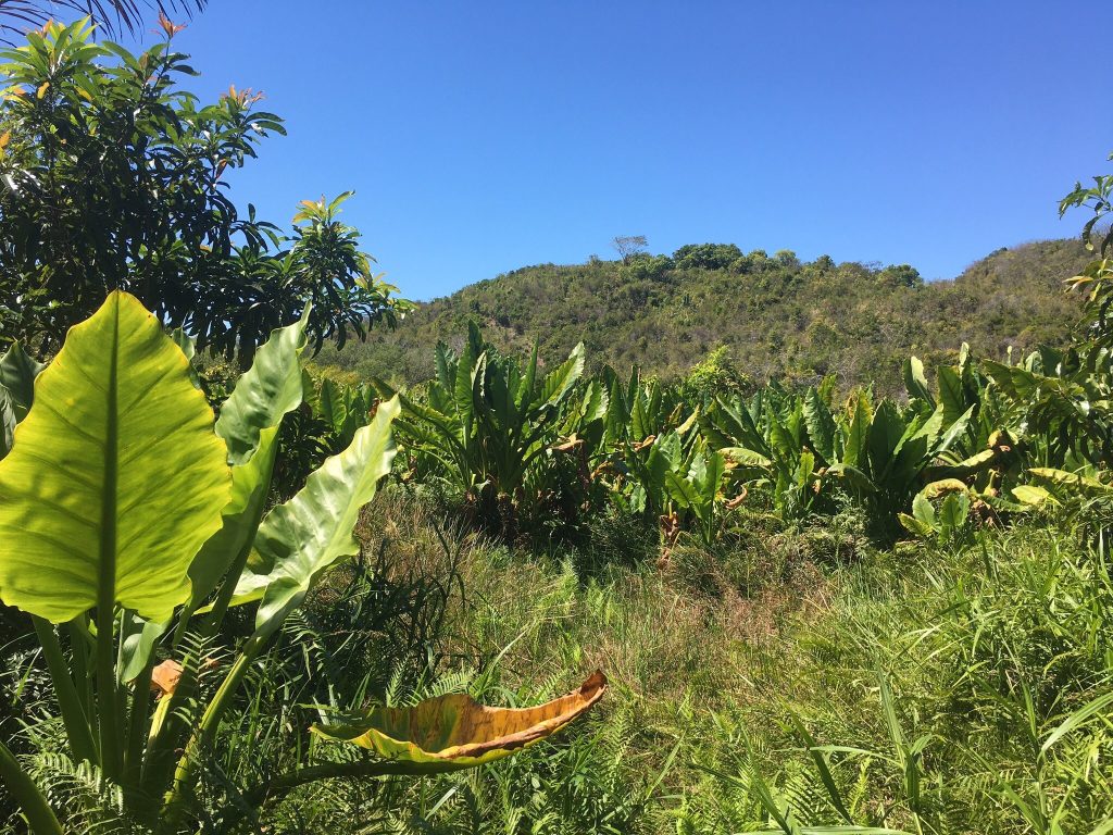
The highlands average near 19 degrees across the year, with nights close to freezing from June to August and frost on the Andringitra plateau.
The southwest receives under 500 mm a year in places with a dry season of seven to nine months and temperatures above 23 degrees year-round.
The west is strongly seasonal, with the wet months concentrating most of the annual rainfall and closing the RN8 entirely.
The north is drier than the east and dominated by the Varatraza trade wind from May to November, with Amber Mountain recording around 3,500 mm against roughly 1,000 in Antsiranana below it.
Rivers, Coasts and Water
The rivers run mostly west, since the plateau sits closer to the eastern coast and the land falls away gradually on the other side.
The Tsiribihina and Mangoky are among the longest, both draining west into the Mozambique Channel. The Tsiribihina carries the classic pirogue descent from Miandrivazo to Belo sur Tsiribihina.
The Betsiboka empties into Bombetoka Bay near Mahajanga carrying so much eroded red soil that the plume is visible from the air, which is the clearest single image of Madagascar’s deforestation.
The eastern rivers are short and steep, dropping from the escarpment to the coast, and the Pangalanes canal links the coastal lagoons behind them for several hundred kilometres.
Coastline runs to roughly 5,000 km, with reef along much of the west and southwest, the longest system off Toliara.
Paper maps are worth carrying for all the coverage gaps, since phone navigation fails precisely where the roads get difficult. A regional map with the Routes Nationales marked is more useful than a detailed one, given that the choice on the ground is usually between two roads rather than twenty.
Frequently Asked Questions
How big is Madagascar?
Around 587,000 square kilometres, running roughly 1,600 km north to south, making it the fourth largest island on earth. It sits about 400 km off the East African coast across the Mozambique Channel, having separated from Africa around 165 million years ago and from India roughly 88 million years ago.
What is the RN7?
The main road running roughly 950 km from Antananarivo south through Antsirabe, Fianarantsoa and Ambalavao to Toliara. It is the only long sealed road in Madagascar and the reason the southern circuit is the standard itinerary. Average speeds run around 40 km an hour, so plan by hours rather than distance.
How long do drives actually take?
Antananarivo to Antsirabe is 170 km and three to four hours. Antananarivo to Andasibe is three to four hours. Antsirabe to Ranomafana runs six to eight. Morondava to Tsingy de Bemaraha is 200 to 230 km and takes six to ten hours with two river ferries. Distances mislead badly here.
Can I travel between regions directly?
Rarely. Almost every domestic flight transits Antananarivo rather than connecting regions, and the road links between them are long and often poor. Moving from the north to the west means flying back through the capital. This is why choosing one circuit beats attempting two.
Which roads need four-wheel drive?
The RN8 north from Morondava to Tsingy de Bemaraha, the tracks to Andringitra from Ambalavao, Andohahela’s outer parcels, the Anjohibe caves, Kirindy Mite and the coast north of Ifaty. The RN7, RN2, RN4 and RN6 are sealed and manageable in a standard vehicle.
Where is the highest point?
Maromokotro at 2,876 metres in the Tsaratanana massif, which sits inside a closed reserve and requires a remote expedition with permits. Pic Boby at Andringitra, 2,658 metres, is the highest summit ordinary walkers can reach, on a three-day circuit from Ambalavao.
Which airports serve Madagascar?
Ivato at Antananarivo handles international arrivals and every domestic route. Fascene on Nosy Be receives some direct international services, mostly seasonal. Domestic airports serve Antsiranana, Sambava, Maroantsetra, Toamasina, Morondava, Toliara, Fort Dauphin and others, with routes running a few times weekly rather than daily.
Why is the east so wet and the southwest so dry?
The central plateau drops sharply on the eastern side, and that escarpment catches moisture coming off the Indian Ocean, producing rainfall exceeding 3,000 mm in places. The same barrier leaves the western and southern sides in rain shadow, with the southwest receiving under 500 mm a year.
Planning Your Trip
Madagascar’s geography does most of the work in deciding an itinerary. One sealed road runs south, one runs east, the regions do not connect to each other, and every flight goes through the capital. Accepting those constraints early produces a far better trip than fighting them.
Booking Your Madagascar Trip
The safari companies and tour operators listed on this website put trips like this together for a living and know which camps, guides and routes actually deliver. We are an independent guide to Madagascar; we do not book or sell tours ourselves.
When you are ready, arrange your safari, tour or holiday with one of the recognised operators listed here. Tell them your dates and what matters most, and a real person, not a form, will handle the itinerary, park bookings and logistics for you.